Table of Contents
وكان طريق الحرير أكثر بكثير من طريق تجاري - كان غلافاً وشبكة معقدة من المسارات تربط بين الشرق والغرب، وتنسج معاً المناظر الطبيعية والشعوب وثقافات ثلاث قارات عبر آلاف الأميال وفوق ألفية، وتمتد عبر أكثر مناطق الأرض شيوعاً، وتؤثر في ظواهرها على الجبال،
فهم الجغرافيا لطريق الحرير يكشف كيف أن الأرض الفيزيائية والبيئة تعرفان أحد أهم النظم التجارية في تاريخ البشرية، ولم تكن الطرق التي يتبعها تجار خيارات تعسفية - بل شكلوا تفاوضاً دقيقاً مع الجغرافيا، ووجدوا مسارات أقل مقاومة من خلال المناظر الطبيعية التي كانت في أغلب الأحيان مصممة لمنع المرور.
هذا الاستكشاف الشامل يفحص الجغرافيا لطريق الحرير: ما كانت هذه الشبكة الأسطورية، التي تتنوعها، وكيف شكل الجغرافيا المادية الأنماط التجارية والتبادل الثقافي، ولماذا أصبحت بعض المدن نواة حاسمة، وما هي التحديات الهائلة التي يفرضها الجغرافيا على المسافرين، وكيف أن منطق هذه الشبكة القديمة لا يزال يؤثر على البنية التحتية الحديثة.
ما كان طريق الحرير؟

The Silk Road was a network of interconnected trade routes] that connected China, Central Asia, the Middle East, and Europe from roughly 130 BCE to the 1400s CE. Despite its name (coined by German geographer Ferdinand vonrichthofen important in 1877.
ما الذي يحمله الطريق
Goods Traveling West from China]
- Silk]: The namesake commodities, Awardd in Rome and Persia for its quality and exotic origins
- Porcelain]: Chinese ceramics respectedd for craftsmanship
- Paper]: Revolutionary technology eventually transforming literacy global
- Gunpowder]: Initially for fireworks, later changing warfare
- Tea]: Becoming beverage staple across Asia and eventually Europe
- Spices]: Cinnamon, ginger, and other aromatics
- Lacquerware:
Goods Traveling East to China]
- Horses: Central Asian breeds Awardd by Chinese military (particularly from Ferghana Valley, "heavenly horses"
- Glassware: Roman and Persian glass unknown in early China
- Precious metals]: Gold, silver from Mediterranean and Persian sources
- Gemstones]: Lapis lazuli from Afghanistan, jade from Central Asia
- Wool and textiles]: From Mediterranean and Persian looms
- Spices]: From South and Southeast Asia via Indian Ocean connections
Ideas and Technologies] (perhaps the most transformative cargo):
- Buddhism]: Traveled from India through Central Asia to China, fundamentaling transforming East Asian spirituality and culture
- Islam]: Spread along trade routes from Arabia across Central Asia to China
- Christianity]: وصل المسيحية النيستورية إلى الصين عبر طريق الحرير
- Zoroastrianism]: Persian religion influencing Central Asian thought
- مفاهيم مواضيعية : الأرقام الهندية ومفهوم الصفر يسافر غرباً
- Astronomical knowledge]: تبادل الملاحظات الإسمية ونظم التقويم
- Agricultural techniques]: Crops and cultivation methods spreading (grapes, alfalfa, pomegranates)
- Artistic fashions]: Greco-Buddhist art, Persian miniatures, Chinese motifs blending
ليس طريقاً وحيداً: شبكة من الطرق
The "Silk Road" was actually multiple routes that shifted over time based on:
- Political stability]: Wars, empire collapses forcing route changes
- تغيرات المناخ : الجفاف، والفيضانات التي تغير مسارات قابلة للبقاء
- Economic opportunities]: New markets drawing merchants to different routes
- Technological developments]: سفن أفضل، أو جِمَل، أو ملاحَة تمكِّن من مسارات جديدة
- Taxation and tolls: Merchants avoid excessive fees by finding alternatives
Main Branches]:
- Northern Route]: من خلال منغوليا وكازاخستان
- Central Route]: من خلال جبال تيانشان وحوض ترام
- Southern Route : Skirting Taklamakan Desert's southern edge through the Kunlun Mountains
- Maritime Routes: Sea paths connecting East Asia to South Asia, Middle East, and East Africa
This network structure meant that no single power could control all trade], creating competitive dynamics that both facilitated commerce and generated conflicts.
فترة زمنية وتطور
Han Dynasty Origins (130 BCE onwards)]: Chinese Emperor Wu sent Zhang Qian westward seeking allies against Xiongnu nomads. Although diplomatically unsuccessful, his missions opened Chinese awareness of western regions and markets, initiated sustained east-west trade.
Tang Dynasty Golden Age (618-907 CE): Chinese power extending westward, creating unprecedented security and prosperity.
Mongol Unification (13th-14th century) : The Mongol Empire's vast extent created ]Pax Mongolica - Good enabling safe travel. Marco Polo'sknown travel occurred during this period.
عوامل متعددة أنهت سيطرة طريق الحرير
- Ottoman Empire]: Controlled Middle Eastern routes, imposing high tariffs
- Ming Dynasty]: Chinese turned inward, reducing trade interest
- Maritime routes]: Portuguese and Spanish oceanic navigation bypassing overland routes
- Plague]: Black Death spreading along trade routes destruction populations
- 3 - التشتت السياسي ]: تنهار إمبراطورية مونغول وتنتهي بوحدة الحكم
The Geographic Span of the Silk Road: Crossing Continents
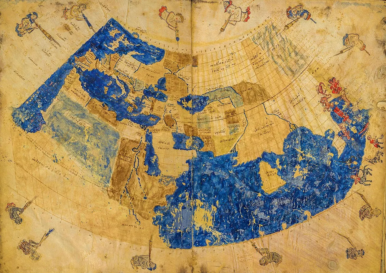
At its maximum extent, the Silk Road covered more than 4,000 miles (some estimates as high as 6,500 miles depending on which branches counted), extendinging from ]Chang'an/Xian in China's heartland to Rome[FLT:
المناطق الجغرافية الرئيسية
وتحول طريق الحرير إلى بيئات مختلفة اختلافا كبيرا، حيث يشكل كل منها تحديات وفرصا فريدة:
| Geographic Region | Key Terrain Features | Climate Characteristics | Major Cities/Sites | Modern Countries |
|---|---|---|---|---|
| East Asia | River valleys, mountain passes, loess plateaus | Continental; cold winters, hot summers; monsoon-influenced | Chang'an/Xi'an, Luoyang, Lanzhou, Dunhuang | China |
| Central Asian Deserts | Taklamakan and Gobi deserts, isolated oases | Extreme continental; scorching summers, freezing winters; minimal rainfall | Kashgar, Khotan, Turpan, Hami, Kucha | Western China, Xinjiang |
| Central Asian Steppes | Vast grasslands, few trees, rolling terrain | Temperate continental; cold winters; moderate precipitation | Samarkand, Bukhara, Merv, Tashkent | Kazakhstan, Uzbekistan, Turkmenistan, Kyrgyzstan |
| Mountain Regions | Tianshan, Pamir, Hindu Kush, Karakoram ranges | Alpine; extreme cold, thin air, unpredictable weather | Mountain passes rather than cities | Afghanistan, Pakistan, Tajikistan, Kyrgyzstan |
| Middle East/Persia | Plateau regions, some deserts, fertile valleys | Arid to semi-arid; hot summers; some areas with mountain snow | Ctesiphon, Baghdad, Damascus, Palmyra | Iran, Iraq, Syria |
| South Asia | Mountain passes, river plains, coastal regions | Monsoon-influenced; varies from arid northwest to tropical coasts | Taxila, Peshawar, Lahore, ports along coast | Pakistan, India, Afghanistan |
| Mediterranean/Europe | Mediterranean climate zones, forests, coasts | Temperate; mild wet winters, hot dry summers | Antioch, Constantinople, Tyre, various ports | Turkey, Syria, Greece, Italy |
"سكالي"
Distance and Time]: A complete travel from China to the Mediterranean could take:
- 1-2 years] by camel caravan (few attempted the entire distance)
- Merchants typically traveled segments, trading at regional centers
- Goods] changed hands multiple times, with intermediaries profiting at each exchange
No Through Travel]: The notion of a merchant traveling from China to Rome was largely mythical instead:
- التجار الصينيون عادة ما يذهبون إلى أوشام آسيا الوسطى أو إلى بيرسيا على الأكثر
- Central Asian traders (Sogdians particularly) served as intermediaries
- Middle Eastern merchants] connected Central Asia to Mediterranean
- European traders] operated mainly in eastern Mediterranean and Black Sea regions
This relay system meant that geographical knowledge remained limited-Romans had vague ideas about China (Seres,] land of silk), while Chinese knew of Rome ( ' Daqin ' but with little accurate detail.
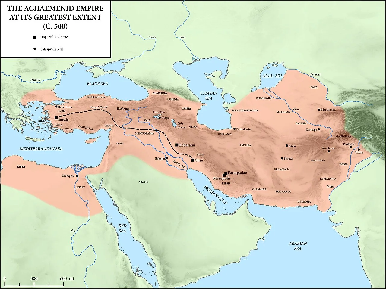
البوابة الشرقية: مضيق الصين الجغرافي والفرص
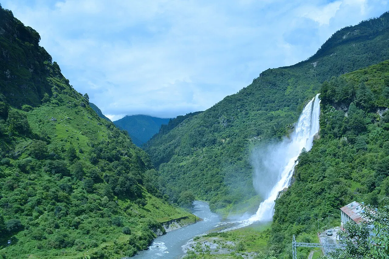
منشأ طريق الحرير الصيني يكمن في ظروف جيوغرافية محددة
نقطة البداية
Chang'an ] (Mdern Xi'an) served as capital for multiple Chinese dynasties (Zhou, Qin, Han, Tang) and the traditional Silk Road starting point:
Geographic Advantages]:
- Wei River Valley: Fertile agricultural region supporting large population
- Strategic position]: Protected by mountains to south and west, controlling access to Chinese heartland
- الفائض الزراعي : الأراضي المنتجة التي تتيح تراكم السلع التجارية
- Political power]: كرأسمال إمبريالي، مراقبة الموارد وتنظيم تجارة واسعة النطاق
The City's Role ]
- محطة طرفية للسلع الغربية التي تدخل الصين
- نقطة جمعية قافلات متجهة غربا
- نقطة الجمارك والضرائب
- الحشيش الثقافي مع الأحياء الأجنبية السكنية في سوغديان، فارسي، والتجار العرب
ممر "هيكس" "خط الحياة الغربي للصين"
The Hexi (Gansu) Corridor represented the crucial geographical feature enabling Chinese westward trade:
Geographic Characteristics]:
- Narrow strip]: حوالي 600 ميل طويل، وأحياناً 10-30 ميلاً على نطاق واسع
- Between barriers]: Qilian Mountains to south, Gobi Desert to north
- Elevation]: Gradually ascending from Chinese plains toward Central Asian altitudes
- Oases]: String of oasis towns supported by icemelt from mountains
Strategic Importance]:
- فقط مسار قابل للبقاء ]
- اختناق طبيعي مبتكر يجعل الدفاع أسهل
- تركيز المستوطنات على الأراضي المحدودة الصالحة للزراعة
- التحكم في الممر يعني التحكم في تجارة طريق الحرير
Key Cities Along the Corridor]
Lanzhou]: Major city where Yellow River could be crossed, gateway to Hexi Corridor.
Wuwei, Zhangye, Jiuquan]: Oasis cities serving as staging posts, each with agricultural hinterlands supporting caravans.
"الطريق الغربي للممر وربما أكثر مدينة "سيلك رود
- Geographic position]: Where routes split to skirt Taklamakan Desert
- Cultural significance]: Buddhist hydroves (Mogao Caves) housing impressive art and manuscripts
- Commercial hub]: آخر نقطة رئيسية للتمديد قبل عبور الصحراء
- Military significance]: Fortified garrison protecting China from nomadic raids
Jade Gate and Yangguan]: Westernmost Han Dynasty fortifications marking the ]frontier between Chinese civilization and the `western regions] [Xiyu) -psologically and physically crossing these thresholds meant leaving the known world.
القيود الجغرافية على التوسع الصيني
Mountain Barriers]: Qilian Mountains and Tibetan Plateau to south preventing direct southern routes.
Desert Barriers: Gobi Desert to north and Taklamakan to west creating formidable obstacles requiring oasis-hopping strategies.
Nomadic threatss]: Steppes to north and northwest inhabited by powerful nomadic confederations (Xiongnu, later Turks, Mongols) who could threaten or facilitate trade.
These constraints meant Chinese westward expansion was ]channeled through the Hexi Corridor, making its control essential to Silk Road participation.
اختبار محرقة الجغرافيا
إذا كان طريق الحرير يمثل طموح البشرية لربط حضارات بعيدة، صحراء آسيا الوسطى تمثل مقاومة الطبيعة الشرسة لهذه الروابط.
The Gobi Desert: The Gateway to Central Asia
The Gobi Desert], spanning northern China and southern Mongolia, presented the first major desert challenge:
Geographic Characteristics]:
- Size]: حوالي 500,000 ميل مربع (تقريباً حجم بيرو)
- Terrain]: Mix of rocky desert (hamada), gravel plains, Sand dunes
- Climate]: Extreme continental-scorching summers (113°F/45°C+), Frigid winters (-40°F/-40°C)
- Rainfall]: Sparse and unpredictable, mostly 2-8 inches annually
- Biodiversity]: Despite harshness, supports specialized wildlife (Bactrian camels, Gobi bears, various rodents and reptiles)
Trade Route Implications]
- معظم طرق طريق الحرير ضَربَ حوافَ Gobi ] بدلاً مِنْ عبور مباشرة
- طرق الشمال عبرت عبر خطاف منغوليا على طول حافة الصحراء
- طرق الجنوب تتبع سلاسل الأوعية على طول جنوب الصحراء
- ويتطلب عبور مصادر دقيقة للتخطيط - المياه، والملاحة، والتوقيت
The Taklamakan Desert: The Place of No Return
إذا كان الجوبي يتحدى، فإن Taklamakan Desert ] قد يكون قاتلاً، اسمه نفسه، معنى "] مكان العودة ] أو "]] يُدخل ويُخشى أن تخرج في اللغة الغية.
Geographic Characteristics]:
- Size]: حوالي 000 130 ميل مربع (أعلى من ألمانيا)
- Location]: Tarim Basin of Xinjiang, China, surrounded by mountains
- Terrain: Primarily ]shifting Sand dunes (some 100+ feet long), among world's largest Sandy deserts
- Climate]: Extreme continental desert-summer temperatures exceeding 104°F (40°C), winter cold
- Rainfall ]: Virtually nil-one of Earth's driest places (average less than 1 inch annually)
- Wind]: Frequent Sandstorms burieding landmarks and erasing tracks
Why it was Impassable]
- no water]: Interior had no oases, springs, or water sources
- Shifting Sands: Dunes moved constantly, making navigation treacherous
- Sand storms : يمكن أن يدوم الأيام الماضية، دفن قافلات
- Temperature extremes]:
- Disorientation]: مشهد مغنطيسي يعرض عددا قليلا من علامات الملاحة
"النتيجة الجغرافية لطريق الحرير"
Northern Route] (Tianshan Route):
- حافة الصحراء المُتَصَلة شمالاً على طول جبال تيانشان
- مر عبر: حمي، توربان، كراشهر، كوشا، أكسو، كاشغار
- معتمد على البطيخ الثلجي من الجبال يغذي الشوفان
- المسار المفضل عموماً بسبب توافر المياه بشكل أفضل
Southern Route] (Kunlun Route):
- جنوب الصحراء المتبوعة على طول جبال كونلون
- مرّ عبر: دونهونغ، روتشيانغ، نيا، خوتان، ياركاند
- ارتفاع أعلى درجة الحرارة الباردة
- "مذهل من "جوتان
- :: أكثر عزلة، وأقل المستوطنات الكبيرة
Alternative Routes]: Some routes went ]around the desert entirely:
- طريق شمالي بعيد عبر غيب الزنغارية (بين تيانشان وجبال ألتاي)
- الطرق الجنوبية عبر كاراكورام إلى جنوب آسيا
المدن الأوزائية: جزر الحياة في البحار الرملية
تعتمد صلاحية الطرق الصحراوية كلياً على مستوطنات أوزيسية - جيوب حياة صغيرة مطروحة من المياه من مصهر الثلج الجبلي التي تتدفق عبر طبقات المياه الجوفية (نظم الكاريز) أو في الأنهار الموسمية:
Turpan (Turfan)]
- أحد أقل الكساد في العالم (505 أقدام و154 متراً تحت سطح البحر)
- درجة الحرارة القصوى المسجلة في الصين (118.9 درجة مئوية/48.3 درجة مئوية)
- Grapes and melons: Famous for fruit cultivation using irrigation
- الموقف الاستراتيجي : على الطريق الشمالي، نقطة لا يمكن تجنبها
Kashgar (Kashi)]
- Geographic crossroads]: Where northern and southern routes reunited, where routes from India/Pakistan met routes from Central Asia
- Oasis scale]: Largest western Xinjiang oasis, sustained by rivers from surrounding mountains
- Cultural melting pot]: Uyghur, Chinese, Central Asian, Indian influences
- Markets]: Legendary bazaars where goods and peoples from multiple civilizations mingled
Khotan (Hotan)]
- Jade source]: Famous for jade deposits from nearby Kunlun Mountains
- Buddhist center]: Important Buddhist Kingdom before Islamic conversion
- Southern route anchor]: Largest oasis on southern Taklamakan route
- Silk production]: تكنولوجيا زراعة الديدان المقتدرة من الصين
Geographic Function of Oases]:
- Rest and resupply: Caravans required 5-10 days between oas; longer gaps impossible
- Trade nodes: عمل كل أوقية كسوق محلية حيث تبادلت السلع
- Cultural transmission]: Religious and cultural ideas spreading at oases where travelers met
- Political entities]: Oasis cities often independent city-states playing Chinese and nomadic powers against each other
السفر في أماكن أخرى
The Bactrian Camel]: Two-humped camels from Central Asia were ]essential technology for desert trade:
- خزن النفايات : يمكن أن ينجو من 10-15 يوماً دون ماء (البشر: 3-4 أيام)
- Load capacity]: Carry 400-600 pounds
- Endurance]: Travel 25-30 miles daily through harsh terrain
- Climate adaptation: الصوف الرملي للبرد، يمكن أن يتسامح مع الحرارة، وطول قدم الرمل
- Navigation]: بعض الأدلة قد تُحسّ مصادر المياه
Caravan Organization]:
- Size]: السلامة في الأعداد؛ الكارافين الكبار (100+جمل مشتركة، أحياناً 000 1 +)
- Guides]: الدراية الفنية المحلية الضرورية للملاحة، ومواقع المياه، والتوقيت
- Night travel]: Summer desert crossings often at night to avoid heat
- التوقيت الموسمي ]: تجنب تطرف الصيف وبرد الشتاء عندما يكون ممكناً
Supplies Required]:
- المياه في أكياس الجلد أو الماعز
- الأغذية المجففة (التاريخ، الحبوب، اللحم المجفف)
- حمّام للحيوانات
- الخيام ومواد المأوى
- أسلحة للدفاع
- البضائع التجارية المحزمة لتحمل الرحلة
الجبال: محاربو الطبيعة وممرات
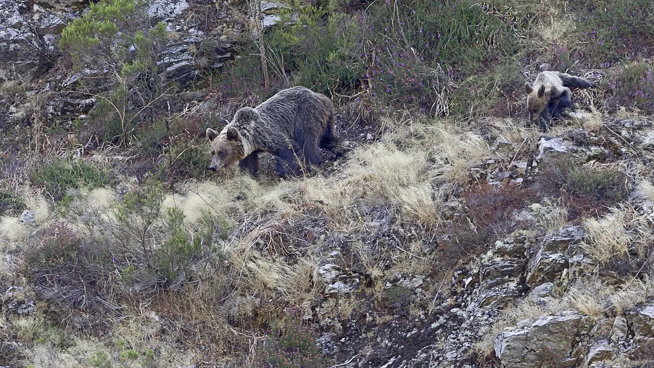
While deserts tested endurance, mountain ranges presented different challenges - and shaped Silk Road geography maybe more profoundly than any other terrain type.
جبال تيانشان: تقسيم وربط
The Tianshan] ( " Celestial Mountains) extend 1,500+ miles across Central Asia:
Geographic Characteristics]:
- Height: Peaks reach 24,000+ feet (Khan Tengri: 22,949 feet)
- Glaciers]:
- Valleys]: Fertile mountain valleys providing grassland for nomadic herders
- Passes]: عدة تصاريح قابلة للتداول، وإن كانت تحدي
Silk Road Role]:
- Natural boundary]: Separating Taklamakan Basin from Kazakhstan steppes
- Water source]: Snowmelt sustaining northern route oases
- Pasture]: المروج الألبية الداعمة للحيوانات والاقتصادات الرحل
- Barrier]: Limiting communication between routes on either side
Dzungarian Gap]: The low pass between Tianshan and Altai Mountains provided:
- Easest crossing]: Between Central Asian steppes and Chinese borderlands
- Invasion route]: Historically used by nomadic groups moving eastward
- Alternative trade route]: Avoiding Taklamakan entirely
جبال بامير: روف العالم
Pamir Mountains ], where several great ranges meet, were called "]Bam-i-Dunya ] (Roof of the World) and represented maybe the Silk Road's most formidable barrier:
Geographic Characteristics]:
- Height: Peaks exceeding 24,000 feet; average elevation 13,000+ feet
- Location]: Junction of Tianshan, Kunlun, Karakoram, and Hindu Kush ranges
- Climate]:
- Glaciers]: ثلج مكثف وثلج ثلج في ارتفاع أعلى
Challenges for Travelers]:
- Altitude sickness]: Severe oxygen deprivation above 12,000 feet
- Cold]: Temperatures well below freeze even in summer at high passs
- Avalanches]: Snow and ice making travel dangerous
- ]: قليلاً من النباتات على ارتفاعات عالية
- Narrow tracks]: Precipitous paths where single misstep meant death
مسافر فينيتيان وصف بـ (بامرس) بشكل واضح
- حريق أقل إشراقا (بسبب الهواء الخفيف)
- طهي الطعام ضعيف (من المقرر أن تكون درجة الغليان منخفضة على ارتفاع)
- مرور 12 يوما دون سكن
- درجة الحرارة القصوى التي أبلغ عنها المسافرون تقلل حرارة الحريق
تصاريح الرسوبيات :
- Wakhan Corridor]: وادي نارو بين بامير وهندو كوش
- Torugart Pass]: Connecting Kashgar to Kyrgyz steppes (altitude: 12300 feet)
- Irkeshtam Pass: الطريق البديل من كاشغار غرباً
The Hindu Kush and Karakoram: Southern Mountain Barriers
These ranges created the geographic boundary between Central Asia and South Asia:
Hindu Kush] (Hindu Killer) -يشير بشكل محتمل إلى العبيد الهنود الذين يقضون أثناء العبور):
- Extends 500+ miles from Afghanistan through Pakistan
- بيك تصل إلى 000 25 قدم
- تصاريح المرور المتعددة التي تربط جنوب آسيا
Karakoram] (Black Gravel)
- "يحتوي على "ك2 "أعلى ذروة في العالم: 251 28 قدم
- بعض من أطول غلام في العالم خارج المناطق القطبية
- مسدودة للغاية، أرض صعبة
The Khyber Pass]: Mostknown South Asian connection:
- Elevation]: منخفض نسبيا (3500 قدم) مقارنة بالمرور الجبلي الآخر
- Length]: حوالي 30 ميلا عبر هيندو كوش
- ]: Connecting Afghanistan and Pakistan (تاريخيا الهند)
- Historical significance]: Used by countless armies (Alexander the Great, Genghis Khan, various Indian and Persian forces)
- Trade importance]: Gateway for goods moving between Central Asia, Persia, and South Asia
Other Significant Passes]:
- Salang Pass (أفغانستان): 11,000 + قدما
- Khunjerab Pass (باكستان - الصين الحدود): 15400 قدم - واحد من أعلى الحدود الدولية المعبدة في العالم
- Baroghil Pass (أفغانستان - باكستان): Connecting Wakhan Corridor
الجبال كجبال ثقافية
الجبال لم تُعيق الحركة الجسدية فحسب بل خلقت حدوداً ثقافية
Linguistic divisions]: Mountains separating language families (Sino-Tibetan, Indo-European, Turkic, Altaic).
Religious boundaries]: Buddhism spreading through certain passes while Islam took different routes.
Genetic isolation]: Mountain populations showing distinct genetic markers due to limited gene flow.
Architectural fashions: Building techniques adapted to specific mountain environments (timber in forested ranges, stone in barren highlands).
استحقاقات الجبال: ليس فقط محاربين
وعلى الرغم من التحديات، فإن الجبال توفر مزايا حاسمة:
Water]: Snowmelt from mountains sustained oases and river valley civilizations.
Defensive positions : Mountain Kingdoms difficult to conquer (Afghanistan's resistance to empires partially geographical).
Mineral resources]: الجبال كثيرا ما تحتوي على معادن قيّمة، وأحجار الكريمة، والفلزات.
Pasture]: Alpine meadows providing summer grazing for nomadic herders.
Timber]: Forested mountain slopes providing construction materials.
وسط آسيا: قلب طريق الحرير
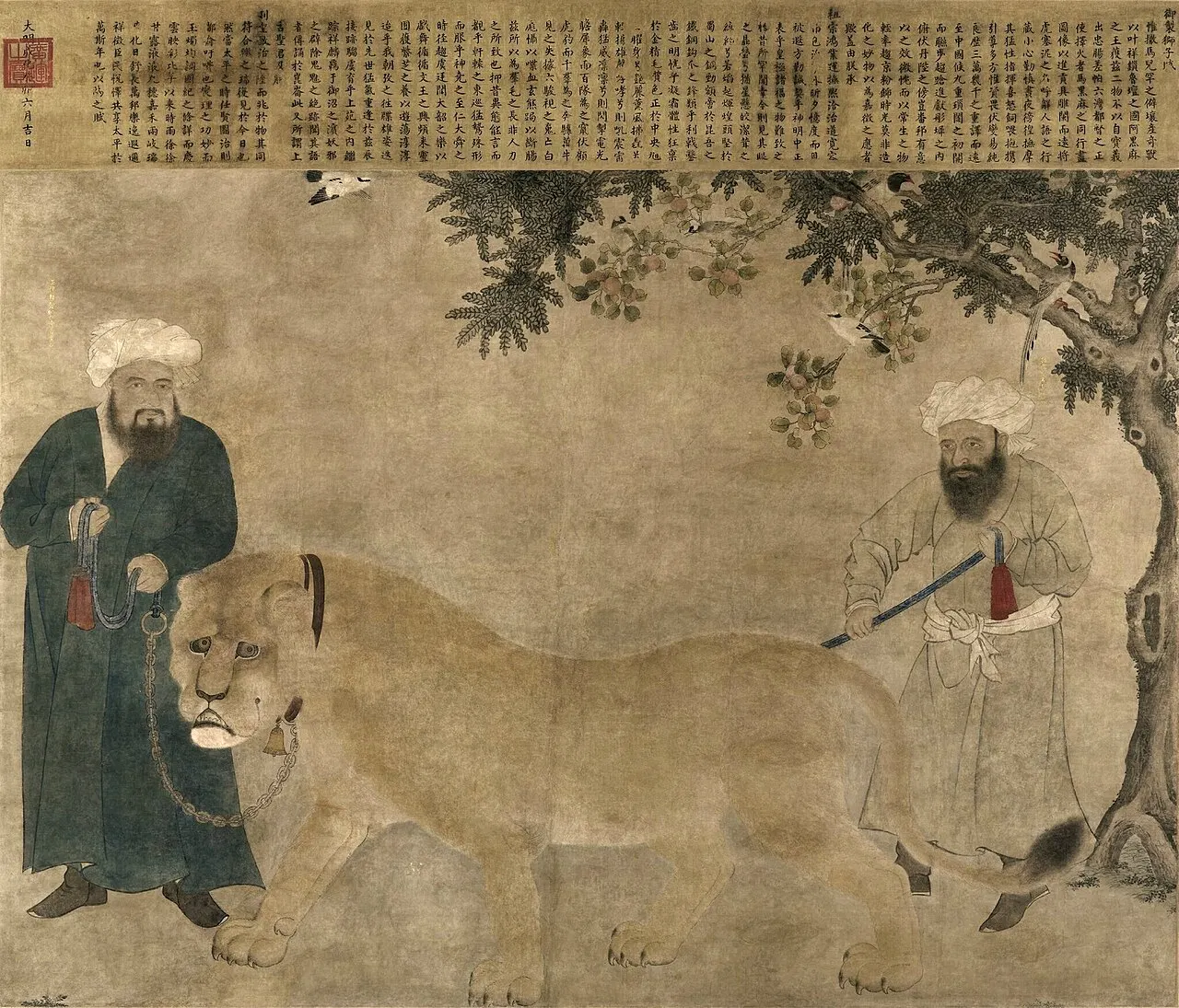
عندما تفاوض المسافرون على صحراء الصين وجبالها دخلوا آسيا الوسطى منطقة من الأصفاد الكبيرة و الوديان الخصبة والمدن المزدهرة التي أصبحت القلب الجغرافي والثقافي لطريق الحرير.
The Steppe: Grasland Corridor
The Eurasian Steppe] extendes from Hungary to Manchuria-5,000+ miles of grassland providing:
Geographic Characteristics]:
- Terrain]: تدحرج السهول مع الأشجار الدنيا، وتهيمن عليها العشب
- Climate]: Continental-cold winters, warm summers, moderate precipitation (more than deserts, less than forests)
- Rivers]: Major rivers (Amu Darya, Syr Darya, others) creating fertile valleys
Nomadic Culture]: Steppe geography created distinctive pastoral nomadic lifestyle:
- Mobility]: Following seasonal pastures with herds (horses, sheep, cattle, camels)
- Military prowes]: Horsemanship and mounted archery making steppe peoples formidable combatants
- Trade facilitation]: Nomads protecting and taxing caravans, providing guides and animals
- Cultural transmission]: Nomadic movement spreading ideas and technologies
Silk Road Implications]
- Northern routes]: Crossing steppes offered easier travel than southern mountain/desert routes
- Nomadic empires: Groups like Xiongnu, Huns, Turks, Mongols alternatively threatening or facilitating trade
- Dual economy]: Sedentary oasis cities coexisting with mobile pastoralists in symbiotic relationships
مدن الأواسي: مجوهرات آسيا الوسطى
كانت أكثر مدن آسيا الوسطى شهرة هي المستوطنات النسيجية في وادي نهر الخصبة، لتصبح مراكز أسطورية للتجارة والتعلم والثقافة:
Samarkand] (Sogdia):
- Geographic position]: On Zarafshan River at convergence of routes from China, India, Persia
- Cultural crossroads: Persian, Turkic, Chinese influences creating unique synthesis
- Architectural glory]: Registan Square, Bibi-Khanym Mosque, Shah-i-Zinda necropolis exemplifying Islamic structure
- عاصمة (تيمرلين)
- Scholarly center]: علم الفلك، الرياضيات، ازدهار الأدب
Bukhara]:
- "نوبالبوخارا" ]: الملحمة التقليدية التي تعكس البؤرة
- Islamic learning]: Over 200 madrasas at altitude, major center of Islamic scholarship
- Persian culture]: Predominantly Persian-speaking despite Turkic political control
- Trade center]: Silk, carpets, metalwork, and other goods exchanged
- Architectural heritage]: بنية إسلامية مدروسة جيداً في القرون الوسطى
Merv] (Mary, Turkmenistan):
- أحد أقدم المراكز الحضرية في آسيا الوسطى
- Geographic advantage]: On Murghab River in otherwise arid region
- Size : يمكن أن تكون أكبر مدينة في العالم في القرن 12 (500,000+سكان)
- Destruction]: Devastated by Mongol invasion 1221, never fully recovered
- Multiple cities]: Successive cities built on same site across millennia
Tashkent]
- الآن عاصمة أوزبكستان وأكبر مدينة في آسيا الوسطى
- Geographic position]: On Chirchiq River, connecting steppes to mountains
- Market center]: Historically important trading hub
- ]: أقرب إلى الصين إلى مدن آسيا الوسطى الرئيسية الأخرى
السود: مركّبات طريق الحرير
شعب (سوغديان) يسكن وادي نهر في (أوزبك) و (طاجيكستان) أصبح أهم تجار طريق الحرير
Geographic Advantages]:
- الموقف المركزي ]: منتصف الطريق بين الصين والبحر الأبيض المتوسط
- المهارات اللغوية : أصبحت اللغة السودية لغة لغويا فرنكاً لتجارة طريق الحرير
- Network establishment]: Sogdian trading colonies throughout route (from China to Black Sea)
- Cultural adaptability]: Adopting customs of various regions while maintaining identity
Commercial Role]:
- Intermediaries]: Connecting Chinese and western merchants
- Banking]: الأشكال المبكرة من الائتمان وتحويل الأموال
- Caravanserais]: Establishing lodging and warehous facilities
- Information]: Gathering intelligence about markets, routes, political situations
Cultural Transmission]:
- Buddhism to China]: Sogdian monks translating Buddhist texts into Chinese
- Artistic influence]: Sogdian artistic motifs spreading along trade routes
- Agricultural transfers]: Introducing crops (grapes, alfalfa) between regions
الأنهار: الحياة في الأراضي القاحلة
Central Asian rivers provided lifelines in otherwise arid regions]:
Amu Darya ] (مدير Oxus):
- الحدود بين أفغانستان وطاجيكستان، التي تتدفق عبر أوزبكستان وتركمانستان
- تتدفق تاريخيا إلى بحر آرال (التي أصبحت الآن أقل بكثير)
- الحضارات الكبرى المستدامة (بكريا، خورزم)
Syr Darya ] (مدير جاكسارتي):
- ارتفاع في تيانشان، تتدفق عبر كازاخستان
- أيضاً بحر آرال الذي يتغذى تاريخياً
- الحدود القديمة المعبدة بين المناطق المستقرة والمناطق البدوية
Zarafshan]:
- "البارد-سترا" في "بيرسيان"
- ساماركاند وبخارا
- لا تصل أبداً إلى البحر، تختفي في الصحراء
هذه الأنهار حواجز جيولوجية ] - تتدفق عبر الأراضي القاحلة ذات التثبيتات المحدودة - مما يعني التحكم في وديانها السيطرة على التجارة والزراعة والطاقة، وقد أدى تحويل هذه الأنهار إلى الماضي في نهاية المطاف إلى إحداث كارثة بيئية في بحر آرال
اتحاد الشرق الأوسط: مفترق طرق الوحدات
ومع دخول طرق طريق الحرير الشرق الأوسط، تحولت الجغرافيا بشكل كبير، وتضاعفت الطرق عندما اقتربت من وجهات البحر الأبيض المتوسط.
The Iranian Plateau: High Road to the West
Persia] (Iran) occupied a ]strategic geographical position] between Central Asia, South Asia, Mesopotamia, and the Mediterranean:
Geographic Characteristics]:
- Elevation]: High plateau (3,000-5,000 feet) surrounded by mountains (Zagros, Elburz, Hindu Kush)
- Climate]: Arid to semi-arid, with greater rainfall in mountains
- Interior basins: Some with salt deserts (Dasht-e Kavir, Dasht-e Lut)
- Oases and river valleys]: دعم المستوطنات والزراعة
Silk Road Routes through Persia]:
- Northern route]: Through Khorasan region (Mashhad, Nishapur) connecteding to Caspian Sea region
- Central route]: Through central plateau cities (Rey/Tehran, Hamadan) to Mesopotamia
- Southern route]: Through Kerman and Fars provinces connecteding to Persian Gulf ports
Persian Cities]
- Ctesiphon] (قرب بغداد): رأس المال الفارسي السعدي، المركز التجاري الرئيسي
- Rey/Tehran]: بوابة الشمال بين آسيا الوسطى وميسبوتاميا
- Isfahan]: Central Persian hub with magnific Islamic structure
- Shiraz]: Southern cultural and commercial center
Persian Cultural Influence]:
- Language]: أصبح الفارسيون لغة مرموقة من الثقافة والدبلوماسية والشعر عبر المنطقة
- Art]: Persian miniature paint, carpet weaving, metalwork influencing far beyond borders
- Architecture]: Distinctive Persian Islamic structure (iwan, muqarnas, tilework)
- Religion]: Zoroastrianism pre-Islamic, then major center of Islamic civilization
Mesopotamia: Between Two Rivers
"أنهار "تيجريس" و "إيبهرتس" خلقت عقيدة خصبة حيث نشأت بعض الحضارات القديمة
Geographic Advantages]:
- Fertile valleys]: Rich alluvial soils from river flooding
- Central position]: Connecting Persian Gulf to Mediterranean, Persia to Levant
- Agricultural surplus]: دعم عدد كبير من سكان الحضر
- River transportation]: Facilitating goods movement
Silk Road Cities]:
- Baghdad: founded 762 CE as Abbasid Caliphate capital, became medieval world's greatest city (possibly 1 million+ inhabitants)
- Round City design:
- House of Wisdom]: Library and translation center maintaining Greek, Persian, Indian knowledge
- مركز تجاري ]: طرق تجارية متفاوتة من الشرق والغرب والجنوب
- Basra]: ميناء جنوبي عراقي في رأس الخليج الفارسي، يربط الطرق البحرية والعبرية
- Mosul]: شمال العراق، مسيطرة على معابر تيغري
Geographic Challenges]:
- "الفيضانات التي لا يمكن التنبؤ بها تتطلب أعمالاً ريّية واسعة النطاق"
- Salinization]: الري غير السليم في نهاية المطاف يهين الإنتاجية الزراعية
- Political instability]: Central position making region contested by empires
The Levant: Gateway to the Mediterranean
As routes approached the Mediterranean, they entered the ] Levant] - the coastal region of modern Syria, Lebanon, Israel/Palestine, and Jordan:
Damascus]:
- Ancient oasis]: Sustained by Barada River in otherwise arid region
- Strategic position]: Where desert routes from east met coastal routes to Mediterranean
- Cultural continuity]: مأهولة باستمرار لمدة 000 5 سنة + سنة
- Umayyad capital]: Early Islamic caliphate centered here
- Trade goods]: Famous for damascened steel, textiles, glass
Palmyra ]
- Desert oasis]: Mid-route between Mediterranean and Mesopotamia
- Wealthy city-state]: Controlled desert trade routes, taxed caravans
- عاصمة Zenobia : الملكة القرن الثالث تحدّت بإيجاز روما
- Ruins]: Spectacular remaining columns, temples testifying to past grandeur
- Geographic vulnerability]: Isolated position making it vulnerable to shifts in trade routes
Mediterranean Ports]:
- Antioch] (أنتاكيا، تركيا): Major Hellenistic and Roman city where overland routes met maritime shipping
- Tyre and Sidon ] (Lebanon): Ancient Phoenician ports continuing as trading centers
- Alexandria] (مصر): ميناء البحر الأبيض المتوسط الرئيسي الذي يربط البحر الأحمر والمحيط الهندي عبر النيل ونظم القناة
الطرق الجغرافية إلى البحر الأبيض المتوسط
طرق متعددة تربط بين المناطق الداخلية والساحل:
- Syrian Desert route: من خلال بالميرا إلى الساحل السوري
- Northern route]: Through Anatolia (Turkey) to Black Sea or Aegean ports
- Southern route]: Through Jordan and Sinai to Egyptian ports
- Via Nile]: Goods traveling through Red Sea to Nile then Mediterranean
This multiplication of routes in the west contrasted with eastern concentration through Chinese Hexi Corridor -reflecting geographical differences (fewer barriers in west, more route options).
مسيرة الحرير البحري: الربط البحري
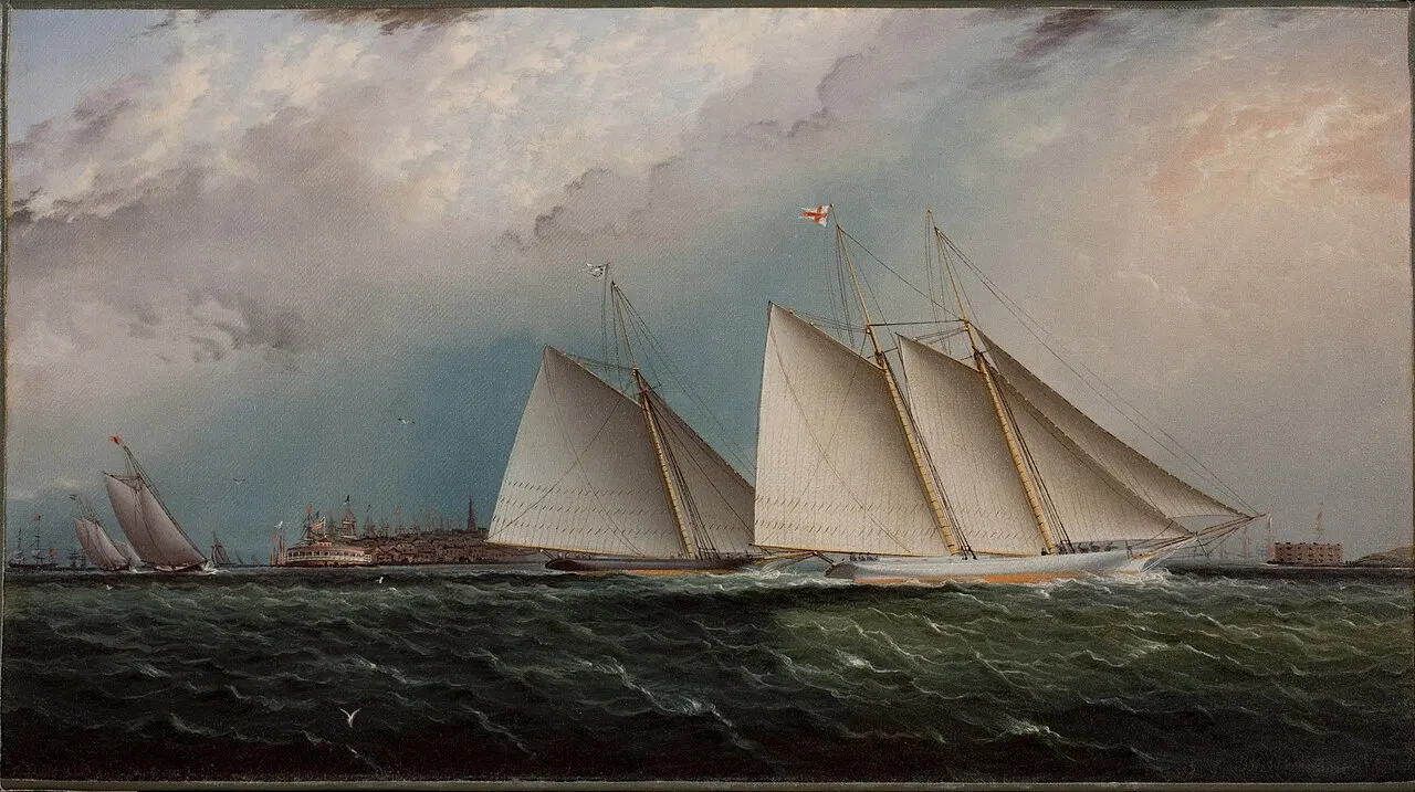
While overland routes are better known, maritime Silk Roads] across the Indian Ocean were equally important, complementing land trade and sometimes offering superior economics for bulk goods.
جيوغرافيا للطرق البحرية
Lower Transportation Costs: يمكن للسفن أن تحمل المزيد من الشحنات من قافلات الجمال بتكلفة أقل لكل وحدة - قد يحمل زهرة واحدة ما يصل إلى 000 1 جمل.
Avoid Land Barriers: Maritime routes bypassed Central Asian deserts and mountains entirely, though presenting different dangers (storms, pirates, reefs).
Monsoon Winds]: Seasonal wind patterns provided ]reliable propulsion:
- Summer monsoon] (نيسان/أبريل - أيلول/سبتمبر): الريح الجنوبية الغربية التي تمكّن من الإبحار من المملكة العربية/أفريقيا إلى الهند وجنوب شرق آسيا
- Winter monsoon] (October-March): Northeast winds enabling return voyages
Connecting Distant Regions]: Maritime routes linked:
- موانئ شرق آسيا (غوانغزو، كوانزو، وآخرون)
- موانئ جنوب شرق آسيا (ملاكا، باليمبانغ، جهات أخرى)
- موانئ جنوب آسيا (كاليكوت، كامبي، كولومبو)
- الموانئ العربية ( عدن، مسقط، هورموز)
- موانئ شرق أفريقيا (مغاديشو، كيلوا، زنجبار)
المرافئ الرئيسية لطرق الحرير البحري
Guangzhou (Canton)]
- Geographic position]: Pearl River delta التي تتيح الوصول إلى المناطق الداخلية الصينية
- Foreign quarter]: Substantial Arab, Persian and Southeast Asian merchant communities
- Trade goods: Silk, porcelain, tea exported; spices, incense, precious stones imported
Quanzhou (Zayton)]
- ماركو بولو سماه أحد أعظم موانئ العالم
- Cosmopolitan]: Muslim, Hindu, Christian communities alongside Chinese
- Shipbuilding]: المركز الرئيسي للتكنولوجيا البحرية الصينية
Calicut (Kozhikode, India):]
- Spice center]: Pepper and other spices exported worldwide
- Hindu Kingdom]: Powerful Zamorin rulers controlling Malabar Coast trade
- Portuguese arrival]: Vasco da Gama reached here 1498, beginning European maritime dominance
Hormuz] (الخليج الفلسطيني):
- Strategic strait]: Controlling entrance to Persian Gulf
- Trans-shipment hub: Connecting Indian Ocean trade to Persian and Mesopotamian overland routes
- Portuguese control]: Conquered 1507, exemplifying European penetration of Asian trade
Malacca]:
- Geographic chokepoint]: Controlling strait between Indian and Pacific Oceans
- Entrepôt]: Goods from China, Southeast Asia, India, Arabia converging
- التنوع التعددي : مالاي، الصيني، الهندي، العربي، ثم التجار الأوروبيين
- Sultanate power]: 15th-century Islamic sultanate at high of influence
التكنولوجيات البحرية
Ship Types]
- Chinese scraps]: Multi-masted vessels with watertight bulkheads, stern-tmounted rudders-technologically advanced
- Arab dhows]: السفن ذات السعة عشرة مناسبة جيداً للإبحار الموسمي
- Indiann vessels]: مختلف التصميمات الإقليمية المكيفة مع الظروف المحلية
Navigation]:
- Celestial navigation]: Using stars, particularly Polaris in Northern Hemisphere
- Compass]: Chinese invention spreading via maritime routes
- Portolan charts: Maps showing ports and coastal features
- Local knowledge]: Pilots with detailed understanding of winds, currents, dangers
التكامل البحري - الأوفرلاند
وكانت طرق البحر والأرض متكاملة بدلاً من المنافسة :]
- سلع شعبية (عنقية، توابل) مفضلة للنقل البحري
- سلع ذات قيمة عالية، منخفضة الحجم (الفولك، الأحجار الثمينة) يمكن أن تبرر ارتفاع تكاليف النقل البري
- سلع مختلفة تتاجر على طرق مختلفة
- بعض التجار المتخصصين في نوع من أنواع الطرق؛ ودمجت أصناف أخرى في كلا المجالين؛
الجغرافيا والتبادل الثقافي: كيف تتقاسم التضاريس
الجغرافيا المتنوعة لطريق الحرير لم تحرك البضائع فقط بل أثرت تأثيراً عميقاً على ثقافات الـ "إف إل تي" التي واجهتها وتأثرت ببعضها البعض
البوذية هي (جيوغرافي جيرني)
Buddhism] spread from India to East Asia primarily via Silk Road routes, with geography shaping this transmission:
Mountain Passes as Gateways]: بوذية دخلت الصين من خلال:
- Karakoram passes: From Kashmir to Xinjiang
- Central Asian oases]: Buddhist Kingdoms (Kucha, Khotan) serving as intermediaries
- Translation centers : Dunhuang, Chang'an where Indian texts translated to Chinese
Oasis Cities as Cultural Incubators]
- مُراهب يسافرون مع قافلات، يُنشئون ديراً في مدن الواحة
- مجمعات مقاهي (موغاو، بيزليك) تصبح مراكز فنية وعلمية
- الحكام المحليون الذين يرعى البوذية من أجل منح الأولوية والاستحقاقات التجارية
Adaptation to Geography]:
- Cave Temps]: In arid regions lacking timber, hydros carved into cliffs
- Architectural fashions: Indian stupas, Central Asian forms, Chinese pagodas showing geographical cultural synthesis
- Iconography]: Greco-Buddhist art from Gandhara showing Hellenistic influence travel through Central Asia
توسع الإسلام في مسارات التجارة
Islam] spread along Silk Road routes after 7th century:
Geographic Pattern]:
- Rapid conquest]: الجيوش العربية التي تتبع طرق التجارة غزو بيرسيا، آسيا الوسطى
- Merchant transmission]: Muslim traders bringing Islam to oases and ports
- التحويلات الاستراتيجية : النخبة الراقصة التي تحوّل إلى مزايا سياسية وتجارية
- Urban centers]: Islam strongest in trading cities; rural/nomadic areas converting more slow
Geographic Limits]:
- Chinese border]: Islam stopped at edge of Chinese cultural sphere (Xinjiang remained Muslim; interior China did not convert)
- Southeast Asian pattern]: Islam spread via maritime routes to island Southeast Asia but less successful in mainland
- Steppe nomads: Many Turkic and Mongol peoples eventually converting, transforming Central Asian cultural landscape
التبادلات الفنية والتكنولوجية
Greco-Buddhist Art]
- الكسندر العظيم يجلب التأثيرات الهلينية إلى آسيا الوسطى والهند
- التقنيات النحتية اليونانية المطبقة على الأشخاص البوذيين
- الانتشار الجغرافي: من غاندرها عبر أوقية آسيا الوسطى إلى الصين
Paper Technology]
- اختراع صيني يصل إلى آسيا الوسطى عندما أسر سجناء صينيين من تانغ في تالاس (751 CE) من قبل عباسيدز
- الانتشار الجغرافي: آسيا الوسطى والشرق الأوسط ⁇ أوروبا
- إصلاح نظام المطبوعات والفوضى، وتحويل محو الأمية
Gunpowder:
- اختراع صيني يسافر غربا
- انتشار التكنولوجيا العسكرية على طول الطرق
- في نهاية المطاف تحول الحرب على الصعيد العالمي
Agricultural Exchanges]:
- Eastward]: Grapes, alfalfa, pomegranates from Central Asia/Persia to China
- Westward]: Peaches, apricots from China to Mediterranean
- المتطلبات الجغرافية: المحاصيل المكيفة مع المناخ الجديد، والتي تحد أحيانا من انتشارها
الموت الأسود: الجانب المظلم من الانتقائية
The bubonic plague] (1347-1353) demonstrated how geographical connectivity could transmit not just goods and ideas but also disease:
Geographic Spread]:
- المنشأ في آسيا الوسطى أو الصين
- سافرت على طول طريق الحرير التجارية غربا
- مرافئ البحر الأسود الموصَّل إليها عن طريق جيوش منغول
- الطرق البحرية المتجهة إلى البحر الأبيض المتوسط وما بعده
- قتل 30-60% من السكان الأوروبيين
شبكة التجارة كناقل الأمراض، نفس الطرق التي أثرت الحضارات، مكنت أيضاً من الربط الجائحي بين الانتشار الجغرافي
تحديات جغرافية طريق الحرير: المسافرون في المأزق
وإلى جانب صحراء وجبال محددة، واجه مسافرو طريق الحرير تحديات جغرافية تراكمية جعلت الرحلات صعبة بشكل غير عادي:
الأخطار البيئية
Deserts]:
- الحرارة الشديدة تسبب الجفاف وسكتة الحرارة
- العواصف الرملية تدفن آثاراً وكارفانز
- عدم وجود ماء يُجبر على وضع جداول سفر صارمة
- اختلال منظر طبيعي
- المرايا التي تخدع المسافرين
Mountains]:
- مرض الطول من الهواء الضعيف في الهواء العالي
- Avalanches and rockfalls
- آثار السهام حيث كانت العيوب عن الموت
- البرودة الشديدة والفرائس
- الطقس غير المتوقع
Rivers]:
- الفيضانات المشتعلة فجأة ملئ الوادي الجاف
- المعابر الخطرة (خطر الازدحام)
- التغيرات الموسمية التي تؤثر على قابلية الملاحة
التهديدات البرية
Predators]:
- الذئاب والنمر في الجبال
- الأسود (تاريخية) في بعض المناطق
- الأفاعي والعقرب في الصحراء
Disease Vectors]
- البعوض الذي يحمل الملاريا في وادي الأنهار
- الطاعون والقمل المنتشر والطاعون
- طفيليات المياه الملوثة
خطر البشر
Bandits and Raiders]:
- الاختناق الجغرافي (ممرات، أوصاف) مما يخلق فرص الكمين
- تمتد إلى المناطق التي يُضعف فيها الكارافين
- جماعات البدو المتناوبة بين حماية الكارفانيين وإغارتهم
Political Instability]:
- الحروب تغلق الطرق أو تجعلها خطرة
- المسافرون عبر الحدود
- الضرائب التعسفية أو المصادرة من جانب الحكام المحليين
Cultural Barriers]:
- الاختلافات اللغوية التي تعقد المفاوضات
- مختلف النظم القانونية التي تؤدي إلى الخلط
- التوترات الدينية تثور أحياناً في العنف
التحديات اللوجستية
Navigation]:
- خرائط محدودة، غير دقيقة في كثير من الأحيان
- تغير العلامات الطبيعية (العمليات المنقولة بالزهور)
- الاعتماد على الأدلة المحلية (النفقة، وأحياناً غير الموثوقة)
Supplies]
- توفير المياه والغذاء الكافيين
- العثور على العلف للحيوانات
- معدات الإصلاح (الطوابق، الحزم، الأحذية)
Seasonal Constraints]
- قفزات جبلية مقفلة
- حرارة الصيف تجعل الصحارى أكثر خطورة
- التوقيت الشهري الذي يملي الجداول البحرية
The Psychological Toll
Isolation]: Months away from home, uncertain whether alive or dead.
Monotony]: Days of desert similar or steppe landscape.
Fear]: Constant awareness of dangers.
Uncertainty]: لا نعرف إن كان الوصول إلى الوجهة أو الموت في الطريق.
These cumulative challenges] meant that Silk Road trade required extraordinary courage, careful planning, substantial capital, and often simple success.
"اللغة الأخيرة: "سيلك رود جيوغرافيا" الحديثة
ورغم توقف السيرك التقليدي عن العمل منذ قرون مضت، فإن منطقه الجغرافي لا يزال يؤثر على الهياكل الأساسية الحديثة والسياسيات الجغرافية.
النقل الحديث بعد مسارات القدماء
Railways]: Many 19th-20th century railways follow Silk Road routes:
- Trans-Siberian Railway]: خط خط خط خط خط خط خط شمالي يربط أوروبا وشرق آسيا
- Chinese railways: Extending through Hexi Corridor into Xinjiang
- Central Asian networks]: Connecting former Soviet republics along traditional routes
Highways: Modern road networks often parallel old paths:
- "باكستان" "الصين" أحد أرفع الطرقات المعبدة في العالم، بعد مرور قديم"
- Central Asian highways]: Connecting capitals through traditional oasis chains
Pipelines]: تتبع أنابيب النفط والغاز من آسيا الوسطى المنطق الجغرافي الذي يشبه الطرق التجارية - تجنب أسوأ الجبال والصحاري بينما تربط مصادر الموارد بالأسواق.
مبادرة الحزام والطريق الصينية: إعادة ميلاد سلك رود؟
مشروع البنية التحتية الشاسعة للصين يتذرع صراحةً بتراث طريق الحريري
النطاق الجغرافي ]:
- Overland routes]: Recreating historic paths through Central Asia to Europe
- Maritime routes]: Following Indian Ocean sea lanes to Mediterranean
- Investment]: Ports, railways, highways, pipelines across dozens of countries
Similarities to Historic Silk Road]
- بعد ممرات جغرافية مماثلة (ممر الهكسي، أوقية وسط آسيا، والطرق الفارسية)
- ربط الاقتصاد الصيني بالأسواق الغربية
- الاستثمار في الهياكل الأساسية التي تيسر التجارة
Differences]:
- التكنولوجيا الحديثة تتغلب على بعض الحواجز التاريخية (النفقات عبر الجبال، عبور الصحراء مباشرة)
- الدوافع السياسية بدلا من الدوافع التجارية البحتة
- الصينية الموجهة من الدولة ضد التجار التاريخي
- السرعة والحجم غير المسبوق
Geographic Challenges Persist]:
- عدم الاستقرار السياسي في آسيا الوسطى
- صعوبة التضاريس التي تتطلب بنية أساسية باهظة التكلفة
- اختناقات الطرق البحرية (ملاكا، هورموز) مما يخلق مواطن ضعف
السياحة: التراث الجغرافي كموارد اقتصادية
Many Silk Road cities and sites now attract tourists, creating heritage economies:]
- UNESCO World Heritage Sites]: Samarkand, Bukhara, Dunhuang Caves, Palmyra (destroyed), others
- Tourism routes]: Organized tours following old paths
- ]: حوافز اقتصادية تحمي المواقع التاريخية
- الاقتصادات المحلية : السياحة التي توفر دخلاً في المناطق المهمشة اقتصادياً بطريقة أخرى
Geographic Challenges]: Remote locations making access difficult, climate extremes affecting tourism seasons, political instability in some regions deterring visitors.
"منافسة جيوسياسية" "شارع طريق الحرير"
(أ) تعكس المنافسة الحديثة للتأثير في آسيا الوسطى الأهمية الجغرافية التاريخية :]
- Russia]: Viewing Central Asia as traditional sphere of influence
- China]: Expanding economic and political influence via BRI
- United States]: Seeking to maintain influence, concerned about Chinese expansion
- Regional powers] (تركيا، إيران، الهند): السعي إلى تحقيق مصالح خاصة
- Energy resources]: Competition for Central Asian oil and gas add modern dimension
المنطقة هي موقع جغرافي - مع وجود قوى رئيسية، تحتوي على موارد الطاقة، السيطرة على طرق العبور المحتملة - لا تزال ذات أهمية استراتيجية.
الأفكار النهائية: جغرافية طريق الحرير
The Silk Road was as much a geographic phenomenon as a cultural or commercial one. Its mountains, deserts, steppes, and seas did not just provide backdrop-they fundamentally determined where trade could flow, how civilizations interacted, which cities prospered, and how ideas spread across continents.
وقد نص الجغرافيا على أن الطرق يجب أن تمر عبر الممر الهاكسي، وأن الكارفان يجب أن يتنور بدلا من عبور تاكلامكان، الذي يمر عبر الـ باميرز سيكون خطيرا بشكل مميت، وأن البؤوس ستصبح مراكز تجارية ثرية، وأن الراهبات ستحدد الجداول البحرية، وأن آسيا الوسطى ستصبح مفترق طرق لا مفر منه حيث تلتقي الشرق والغرب.
وكانت التجار والرهبان والجنود والمغامرون الذين يسافرون إلى هذه الطرق يستجيبون ل الحقائق الجغرافية ] - أوجدت طرق تقصي أقل مقاومة من خلال المناظر الطبيعية الهائلة، والاستفادة من مصادر المياه، وسفر التوقيت إلى الظروف الموسمية، وتكييف استراتيجياتهم مع الأرض، واختياراتهم، التي تجمعت عبر قرون، وآلاف الرحلات الفردية، أنماطاً نسميها.
ويكشف فهم هذه الجغرافيا عن الحقائق الأساسية عن الحضارة الإنسانية: إذ أن التجارة تتبع مسارات عملية بدلاً من الطرق المثلى، وأن الحواجز المادية تخلق حدوداً ثقافية حتى مع تحول الثغرات في تلك الحواجز إلى مناطق الخلط الثقافي، وأن مراقبة النقاط الجغرافية الاستراتيجية تترجم مباشرة إلى الثروة والسلطة، وأن قدرة البشرية على التغلب على العقبات الجغرافية - في الوقت نفسه، التي تحدها الحقائق الكوكبية.
فمن الرمال المتحولة لتلامكان إلى المرتفعات المتجمدة من البمير، ومن أوافات وسط آسيا الخصبة إلى الموانئ القديمة في البحر الأبيض المتوسط، يبرهن طريق الحرير على كيف أن الأراضي تشكل التاريخ ] تماماً مثل الوكالة البشرية، وقد لا تحمل الطرق قافلات حريرية متحركة، ولكن لا تزال تتواصل
إن طريق الحرير يمثل شاهدا على تصميم الإنسان على التواصل عبر مسافات شاسعة رغم العقبات التي تعترض الطبيعة، وكتذكير بأن الهندسة - المصممة والمستمرة والقوية - تحافظ على الأساس الذي يجب أن تقوم عليه جميع المساعي الإنسانية، من الطرق التجارية القديمة إلى الهياكل الأساسية الحديثة، في نهاية المطاف.
