Geography maps
These reference maps help you see global patterns at a glance — latitude and Köppen climate, biomes, tectonic boundaries, major rivers, cyclone basins, and focused regional views. Each map uses a Robinson projection with Natural Earth coastlines so continents keep familiar proportions.
Start with a world reference map for context, then open a region spotlight when you want a closer look at a place in the news or in your coursework. Every map page includes a readable key and links to deeper Everyday Geo articles.
Reference maps
Thematic world maps — latitude & Köppen climate, biomes, tectonics, rivers, and hazards.
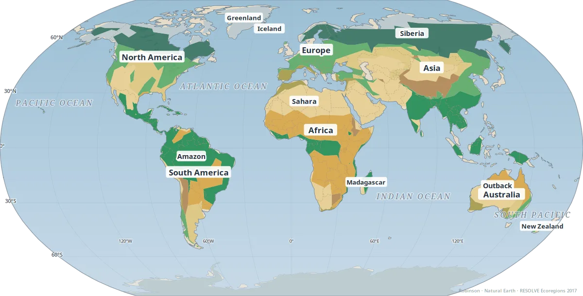
Biomes & ecosystems
Major terrestrial biomes from tropical rainforest to tundra.
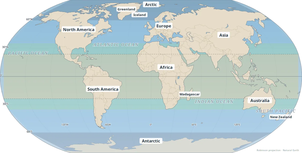
Climate zones
Latitude bands and major climate patterns.
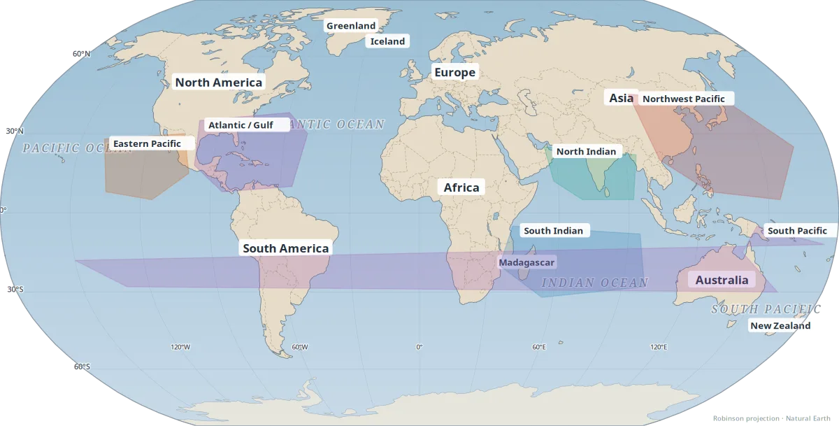
Hurricane & cyclone zones
Tropical cyclone basins and where storms tend to form.
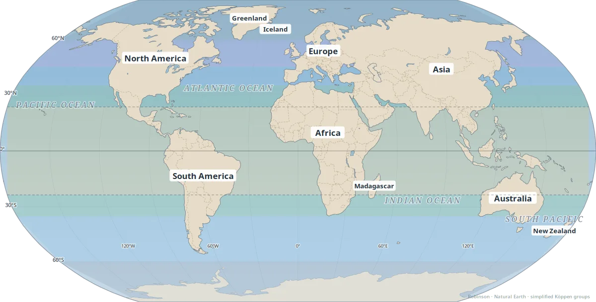
Köppen climate classes
Simplified Köppen–Geiger climate types at world scale.
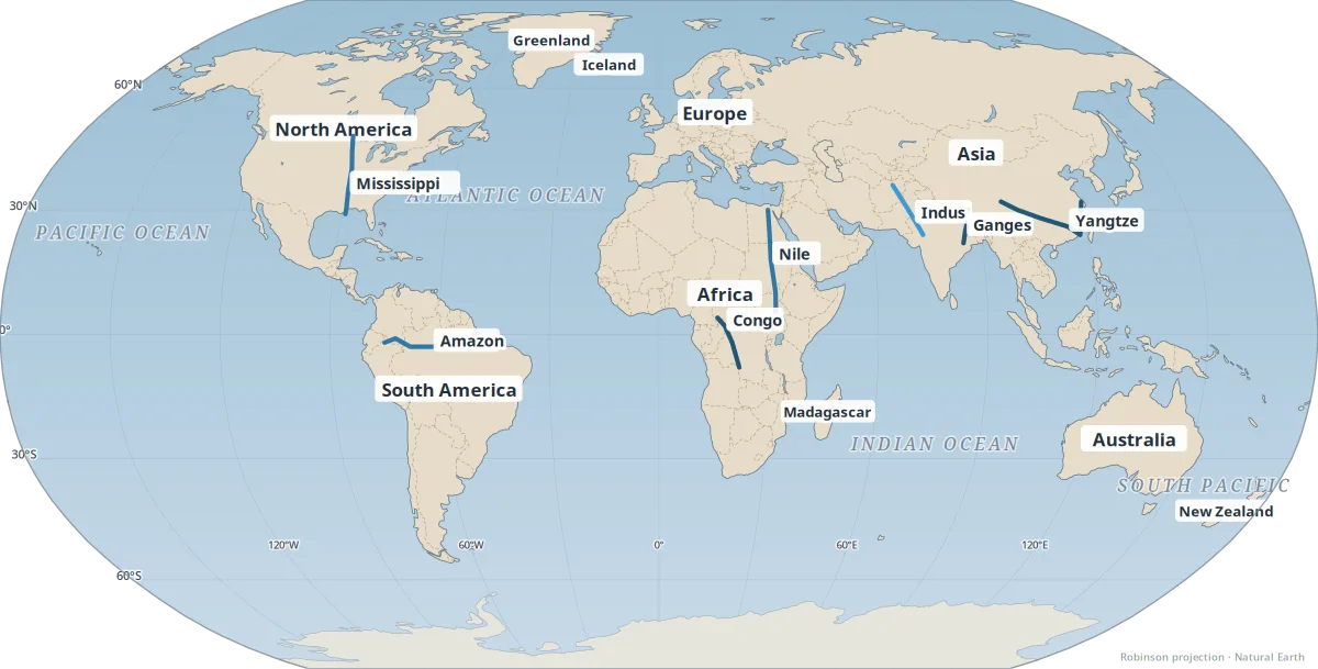
Major river systems
Continental-scale drainage — where great rivers flow and why it matters.
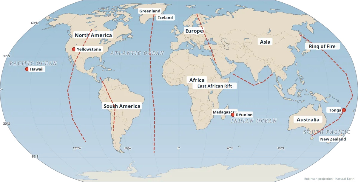
Plate tectonics & boundaries
Where Earth's plates meet — earthquakes, volcanoes, and mountain building.
Region spotlights
Focused regional maps with links to related Everyday Geo articles.
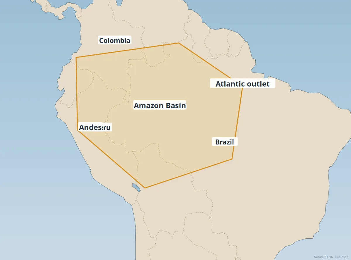
Amazon Basin
Rainforest, rivers, and one of Earth's largest drainage systems.
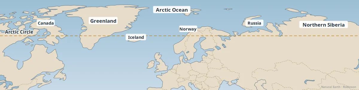
Arctic
Polar geography — ice, permafrost, and rapid environmental change.
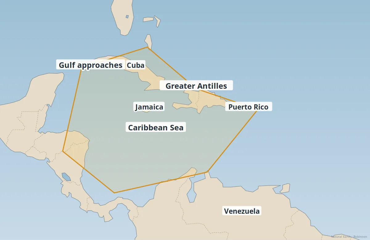
Caribbean
Islands, hurricanes, and tropical marine geography.
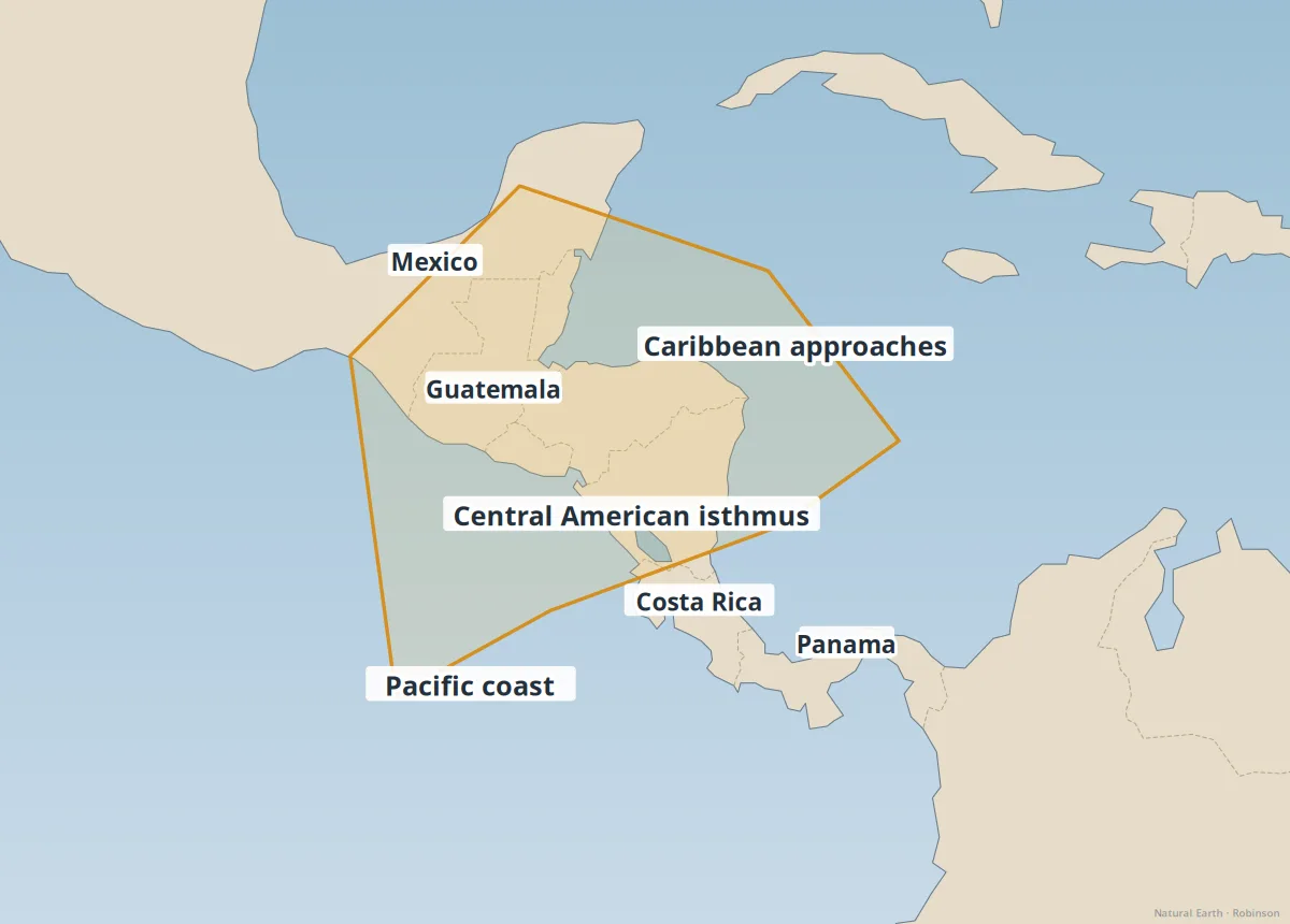
Central America
The isthmus linking the Americas — volcanoes, rainforests, and trade routes.
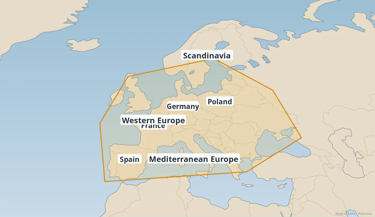
Europe
A crossroads of climates, languages, and dense settlement.
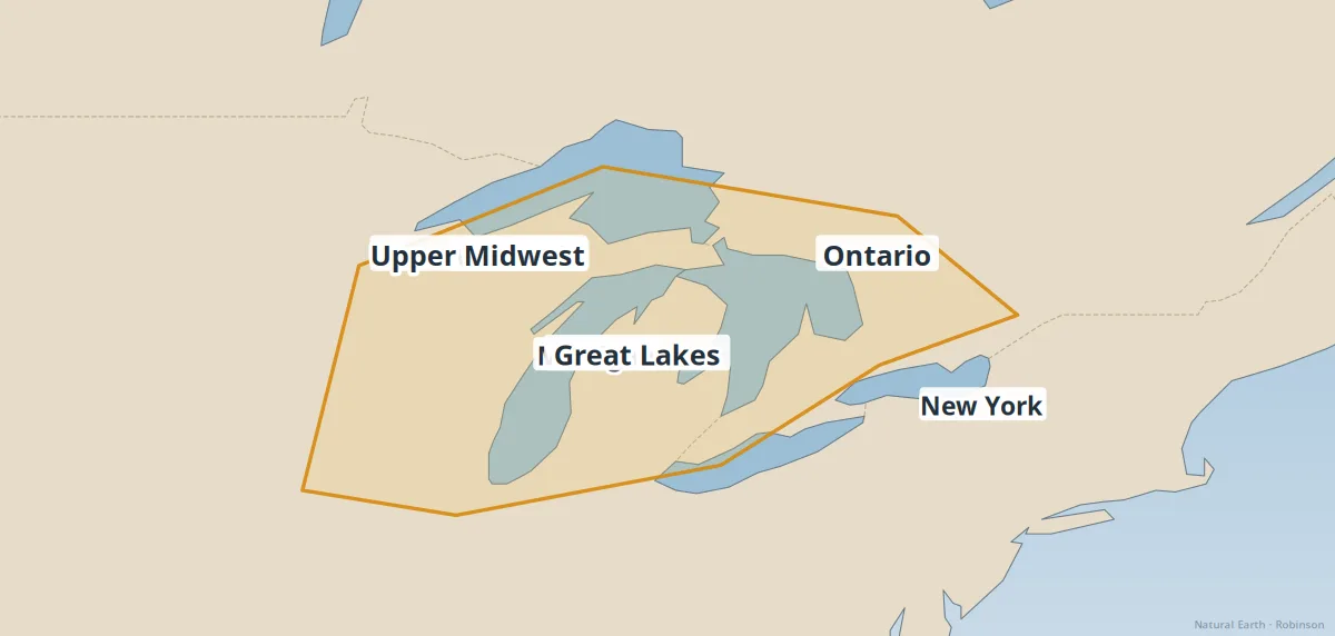
Great Lakes region
Freshwater seas of North America — trade, ecology, and climate.
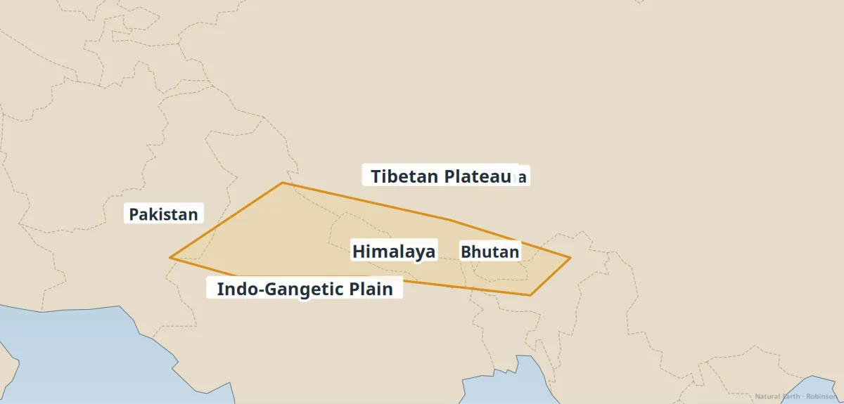
Himalaya & Tibetan Plateau
Earth's highest mountains and the plateau that feeds major rivers.
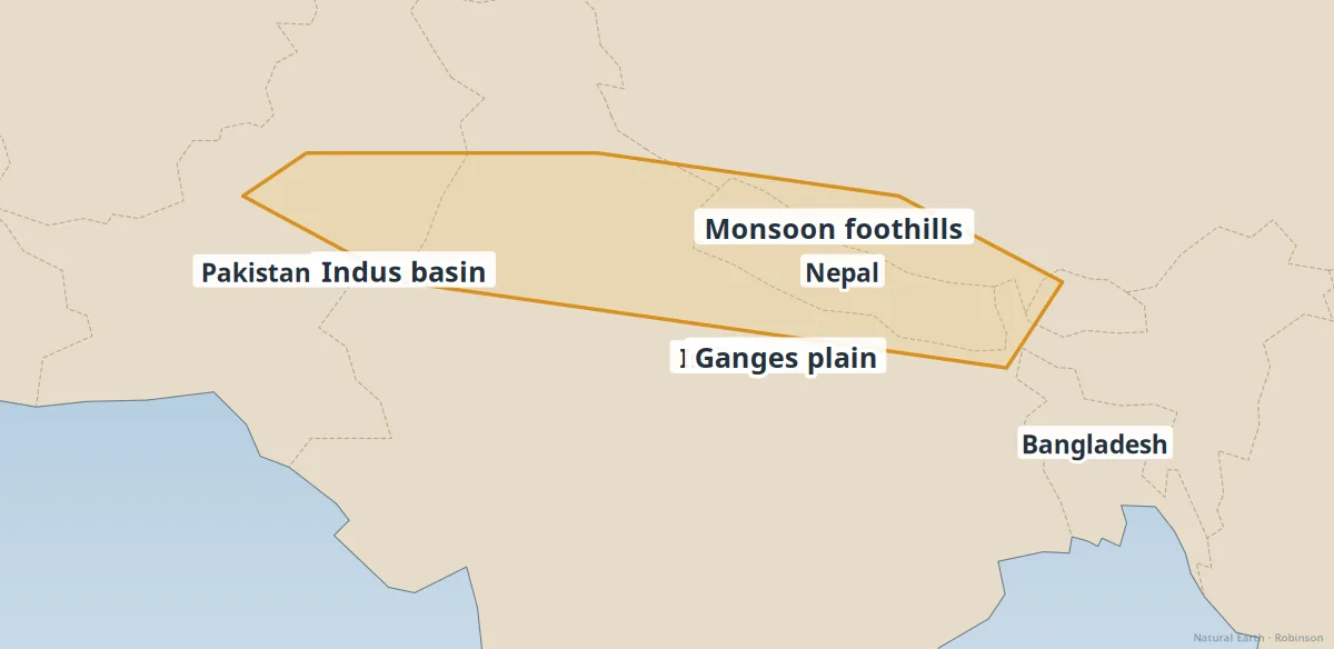
Indus & Ganges plains
South Asia's fertile river plains — population, monsoon, and agriculture.
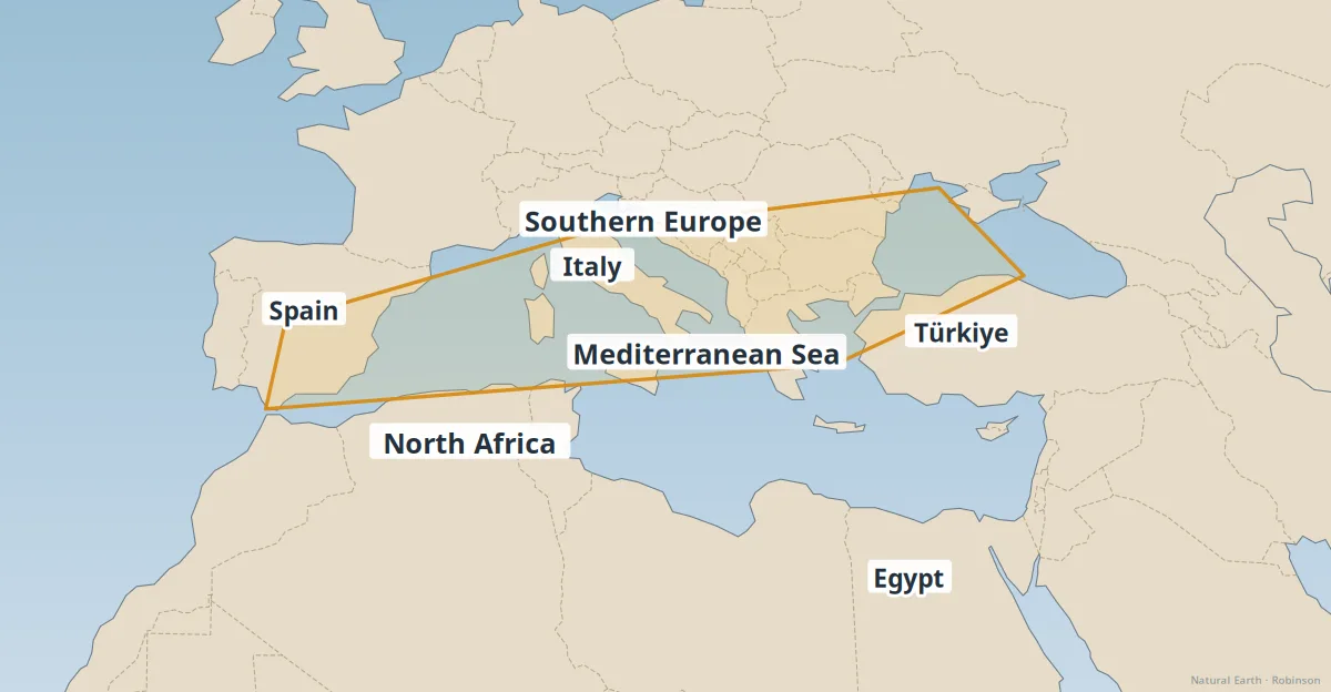
Mediterranean Basin
A crossroads of continents — climate, landforms, and human settlement.
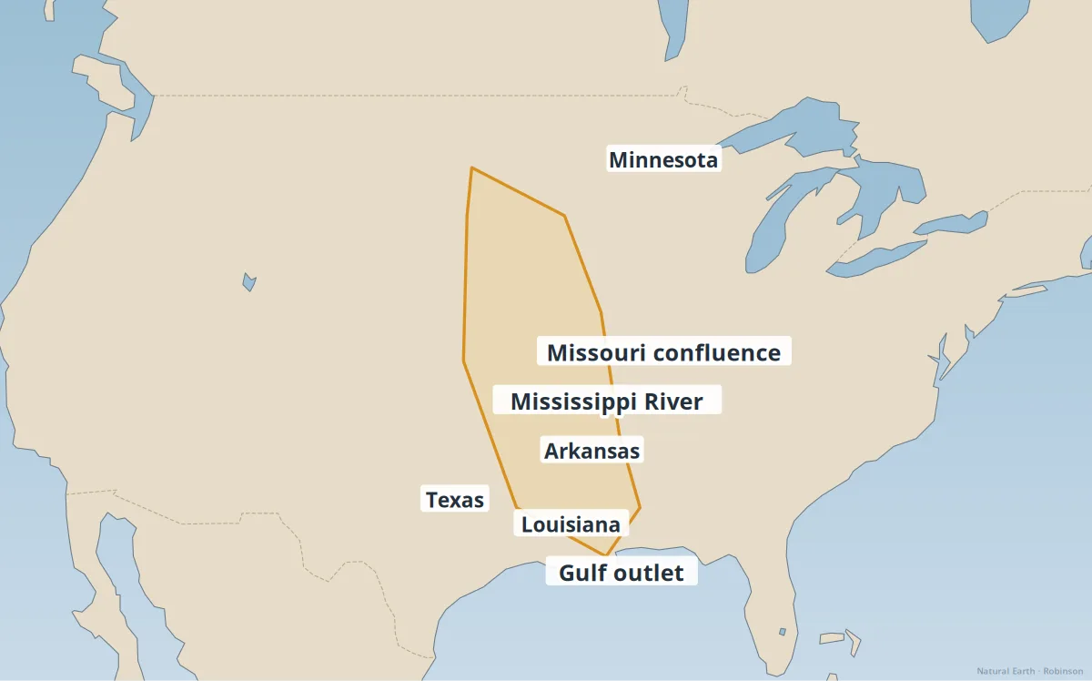
Mississippi Basin
North America's great interior drainage — floods, farms, and trade.
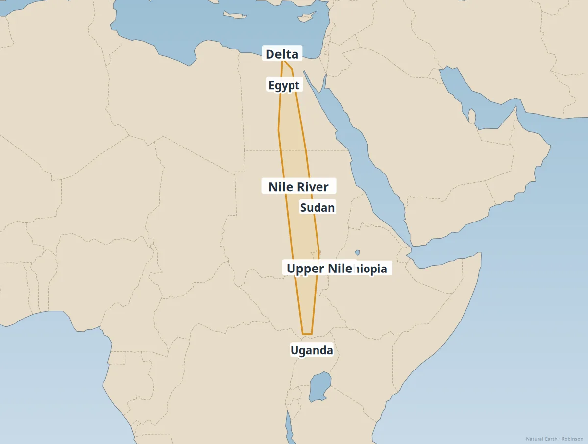
Nile Basin
Africa's longest river — ancient civilization and modern water politics.
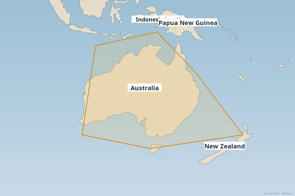
Oceania & Australasia
Australia, New Zealand, and the Pacific islands.
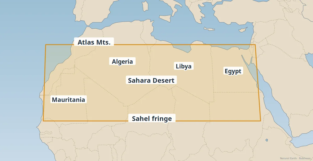
Sahara Desert
The world's largest hot desert — dunes, oases, and desertification.
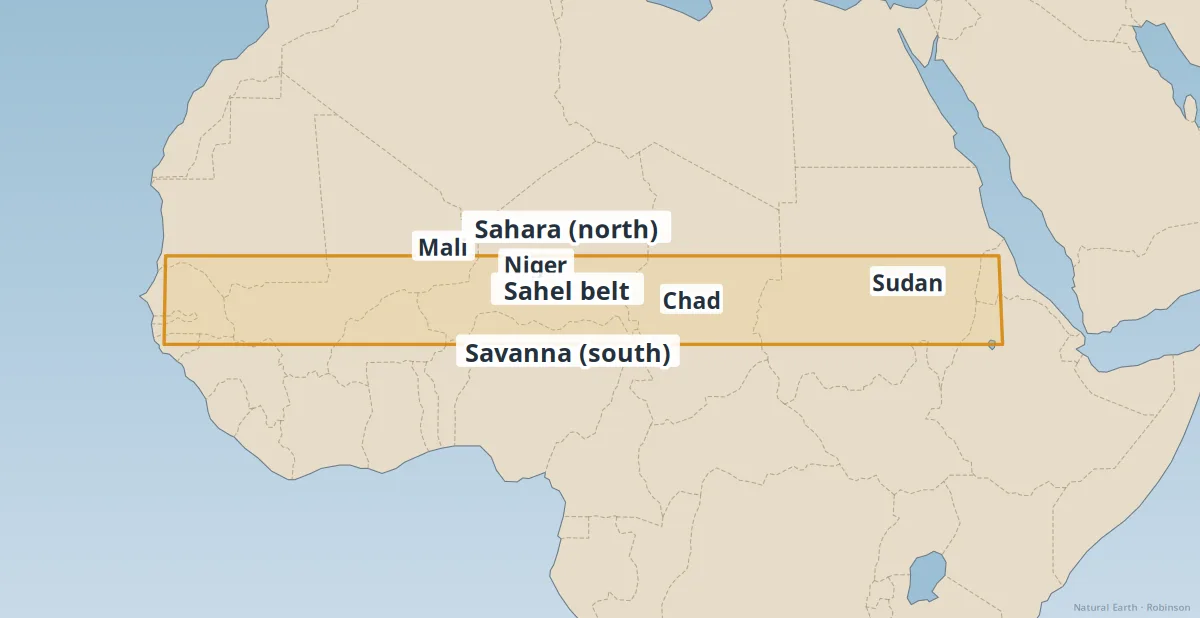
Sahel
The semi-arid belt south of the Sahara — climate stress and development.
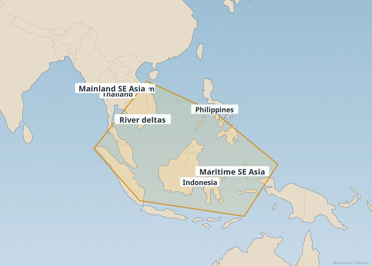
Southeast Asia
Deltas, archipelagos, and one of the world's fastest-urbanizing regions.
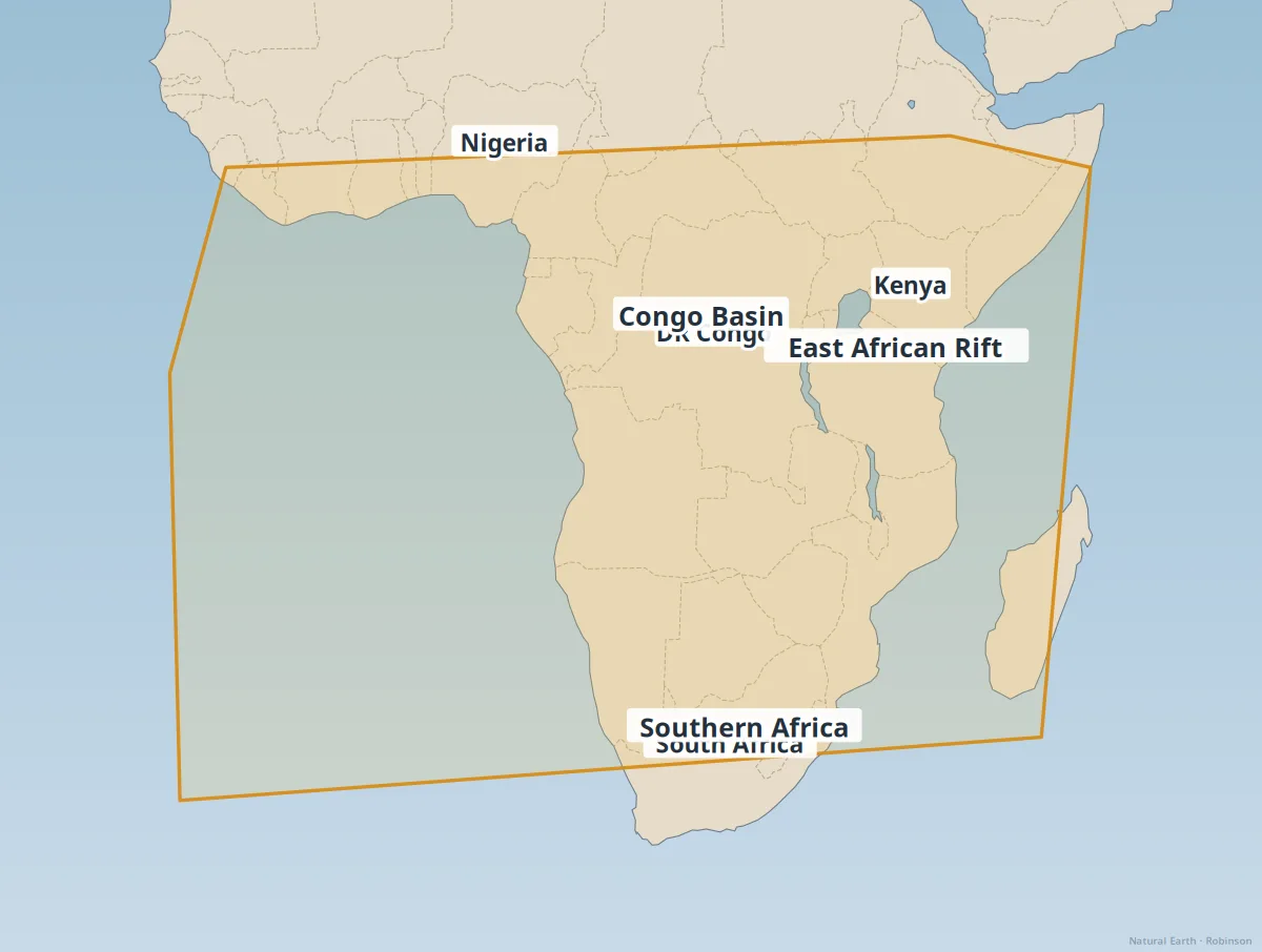
Sub-Saharan Africa
Rainforests, savannas, rifts, and fast-growing cities.