Major river systems
Continental-scale drainage — where great rivers flow and why it matters.
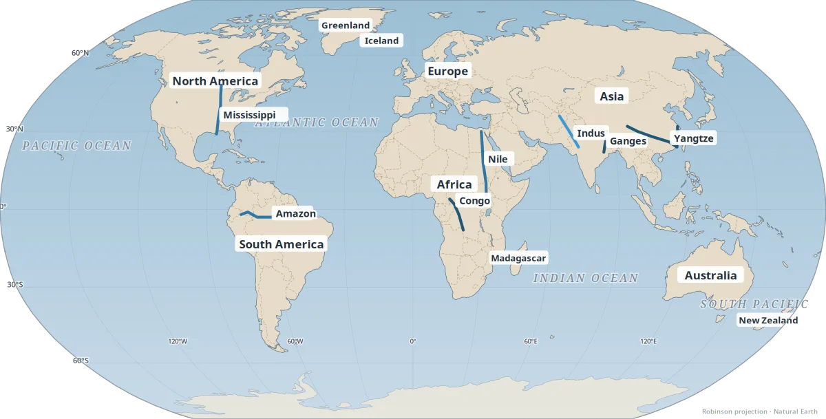
Great rivers drain continents, carry sediment to deltas, and concentrate human settlement. River basins — the land where rain flows toward one mouth — define water supply, flood risk, and agriculture for billions of people.
Blue lines show schematic courses of major systems including the Amazon, Nile, Mississippi, Congo, Ganges, Indus, and Yangtze. This is not a hydrological model; it highlights where continental-scale drainage matters most.
- Amazon — largest discharge by volume; feeds the rainforest basin.
- Nile — long desert river supporting ancient and modern Egypt.
- Mississippi — interior U.S. transport and floodplain agriculture.
- South Asian rivers — monsoon-fed plains with very dense populations.
See also: Amazon Basin, Nile Basin, Mississippi Basin, Indus & Ganges plains.
- The Amazon River Basin: a natural highway for transportation and biodiversity — South America's continental-scale drainage.
- The role of river valleys in concentrating populations: the Yangtze — East Asia's largest river corridor.
- River wonders of South Asia: the Indus, Ganges, and Brahmaputra — Monsoon-fed plains with huge populations.