Indus & Ganges plains
South Asia's fertile river plains — population, monsoon, and agriculture.
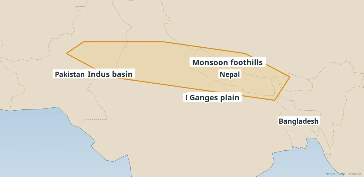
The Indus and Ganges plains are among the most densely populated landscapes on Earth. Alluvial soils from Himalayan rivers support intensive agriculture — wheat, rice, and irrigation networks feed hundreds of millions.
Monsoon timing, glacial melt, and groundwater pumping all affect water availability. Flooding is both a nutrient source and a major hazard.
- Monsoon — summer rains swell rivers; failures trigger drought.
- Indus Water Treaty — India and Pakistan share basin management.
- Delta cities — Kolkata and Dhaka sit in low, flood-prone plains.
See also: Himalaya & Tibetan Plateau, Major river systems.