Mississippi Basin
North America's great interior drainage — floods, farms, and trade.
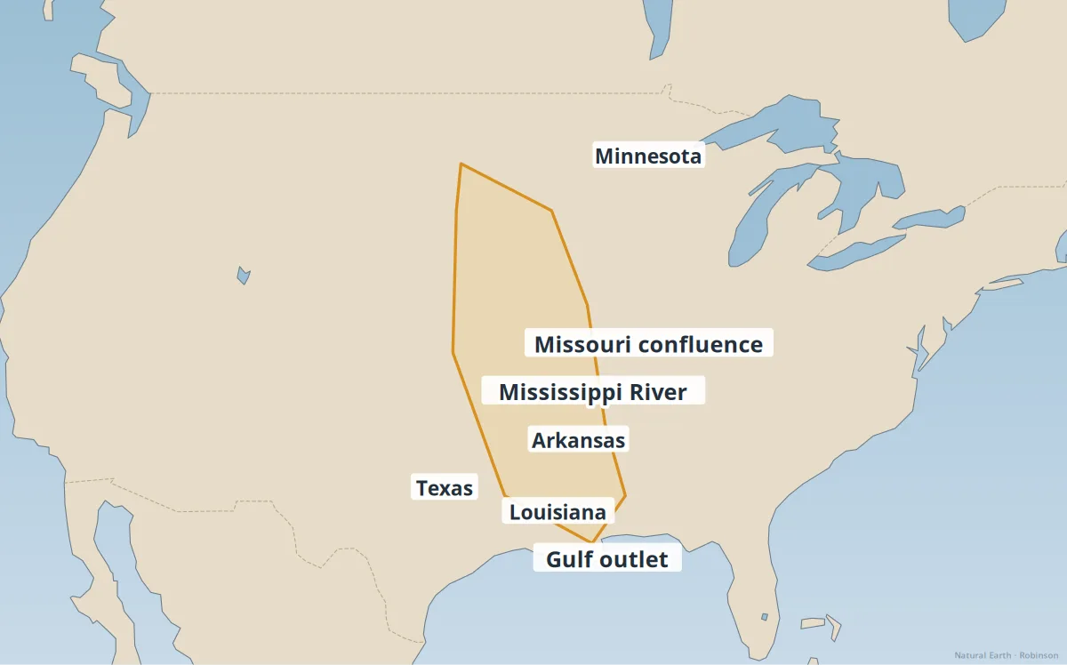
The Mississippi River and its tributaries (Missouri, Ohio, Arkansas, and others) drain about 40% of the contiguous United States into the Gulf of Mexico.
The basin supports corn and soybean belts, barge freight, and cities from Minneapolis to New Orleans. Levees and floodways manage frequent spring floods.
- Dead zone — nutrient runoff fuels Gulf of Mexico hypoxia.
- Delta land loss — Louisiana loses coastal wetlands without sediment.
- 1988 & 1993 floods — examples of basin-wide extremes.
See also: Major river systems, Great Lakes region.