Climate zones
Latitude bands and major climate patterns.
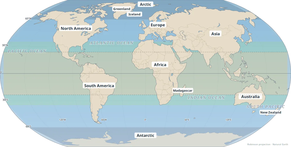
Climate zones group the world by long-term temperature and rainfall patterns. Latitude is the main driver — the equator receives more direct sunlight year-round, while the poles stay cold — but ocean currents, elevation, and continentality shift local climates away from simple north–south bands.
This map shows simplified latitude bands (polar, temperate, subtropical, tropical). It is a teaching reference, not a detailed Köppen classification. Use it to orient yourself before reading about regional weather, agriculture, or climate change.
- Equator (0°) — year-round warmth; wet tropics vs. seasonal monsoon tropics.
- Tropics of Cancer & Capricorn (~23.5°) — sun can be directly overhead; marks the edge of the tropics.
- Mid-latitudes (35°–60°) — four seasons; where most temperate cities sit.
- Polar regions (above ~60°) — short summers, long winters; fast warming today.
See also: Köppen climate classes, Biomes & ecosystems.
Map key
- Polar (high latitudes)
- Temperate (mid-latitudes)
- Subtropical
- Tropical (low latitudes)
Dashed lines: Equator (solid), Tropic of Cancer and Capricorn (~23.5°N/S).