Sahel
The semi-arid belt south of the Sahara — climate stress and development.
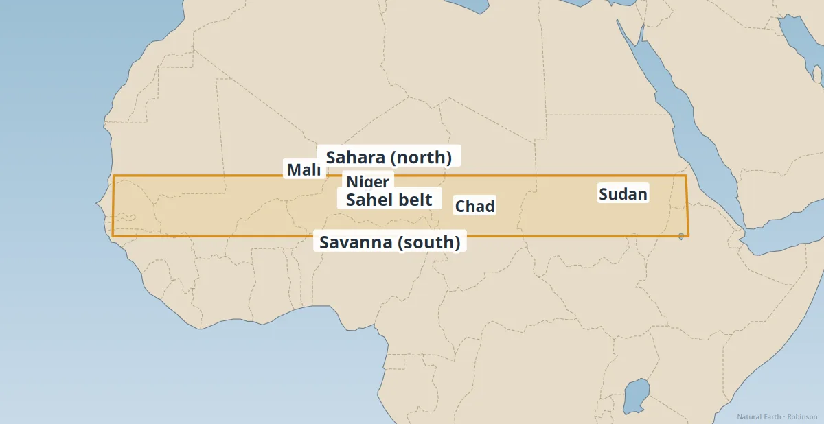
The Sahel is the semi-arid transition zone south of the Sahara — grassland and savanna where rainfall is limited and highly variable. It stretches across Mali, Niger, Chad, Sudan, and neighbouring states.
Communities here depend on rain-fed agriculture and pastoralism. Drought cycles, land degradation, and rapid population growth make this one of the world's most climate-vulnerable belts.
- Desertification — overgrazing and drought can push margins southward.
- Great Green Wall — regional effort to restore vegetation corridors.
- Conflict & migration — resource stress intersects political instability.
See also: Sahara Desert, Sub-Saharan Africa.